January 10, 2021 - Hummel, Yorktown, Barrier Islands

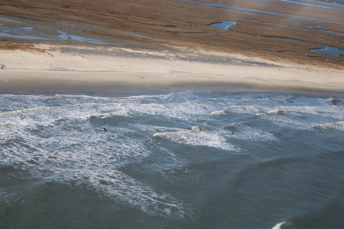
On Friday the plan had been for a bunch of us to fly down to Hummel Airport, Virginia, for breakfast.  Wheels up at 9AM.  I showed up at the Skypark and no one was there!  I went by myself anyways because I had never really flown around the Hummel area, wanted to check out the Yorktown American Revolution battlefield from the air, and then fly back up the barrier islands on the Delmarva peninsula.

It was a little cool in the morning so I pre-heated the engine.  Took off at 9:15.  Soon I was winging my way southeast over the Chesapeake Bay.

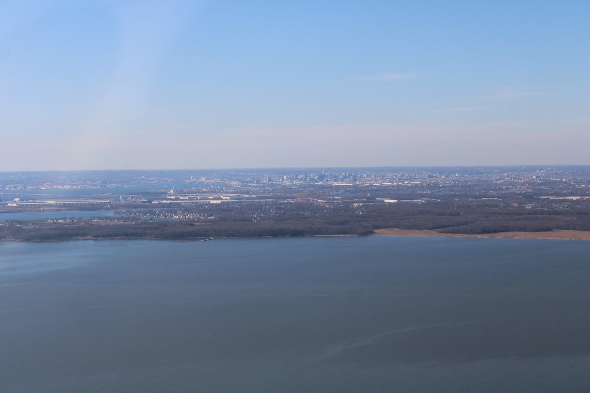
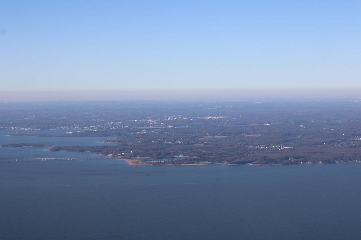
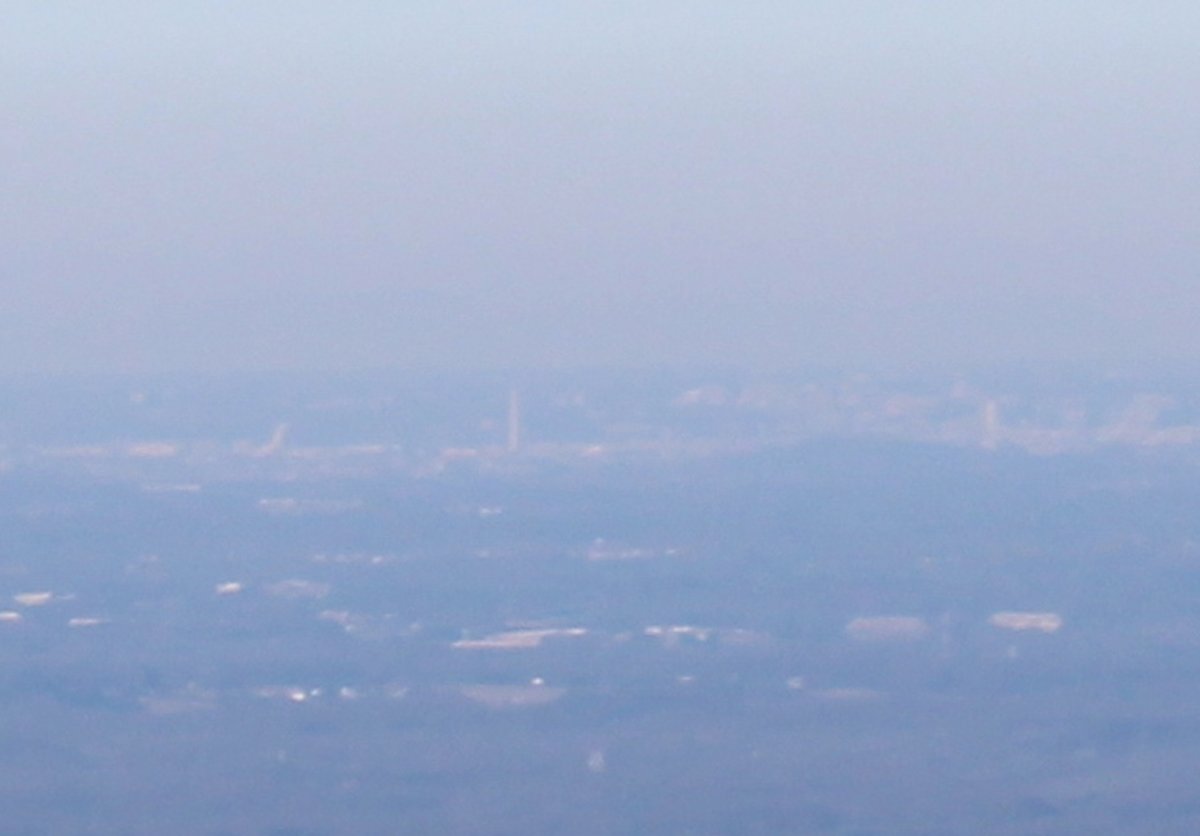
Visibility was phenominal.  In the center is Annapolis and Washington D.C. was clearly visible in the distance.

   
Zooming in on the above picture, there is the Capital building on the left and Washington monument left of center.
   
Mark on top St. Marys Airport (2W6).
   
Lots of water in this area.
   

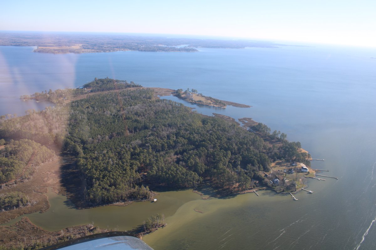
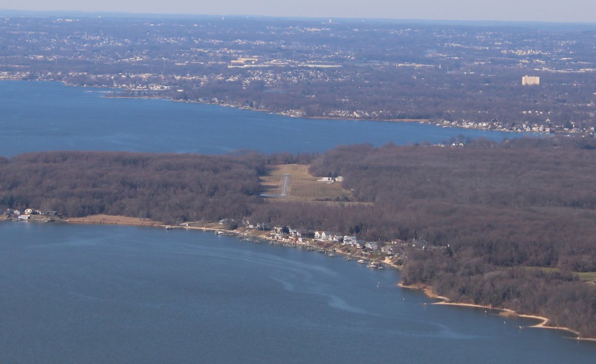
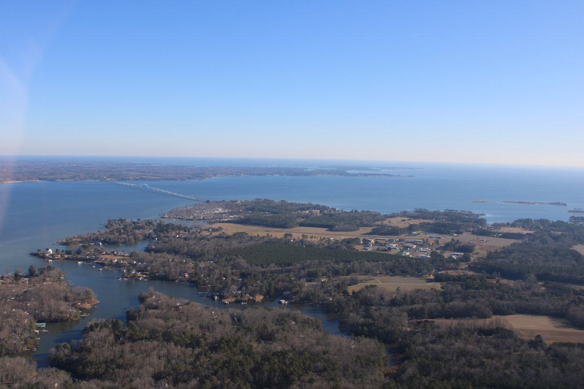
Approaching Hummel Airport from the west.   That's the Rappahannock River to the left and the Chesapeake Bay to the right.

The Robert O. Norris Jr. Bridge crosses the river.  It serves as the crossing for State Route 3 over the river. 11,237 feet long, it was opened on August 30, 1957, and replaced a ferry service. It is also known by locals as the White Stone Bridge or Rappahannock River Bridge. The water is over 60 feet deep near the center of the bridge.   Today, more than 8,000 vehicles cross the two-lane bridge each day.

Robert Opie Norris Jr. (November 4, 1880 – June 21, 1960) was an American Democratic politician who served as a member of the Virginia House of Delegates and Senate. He was the Senate's President pro tempore from 1945 to 1950


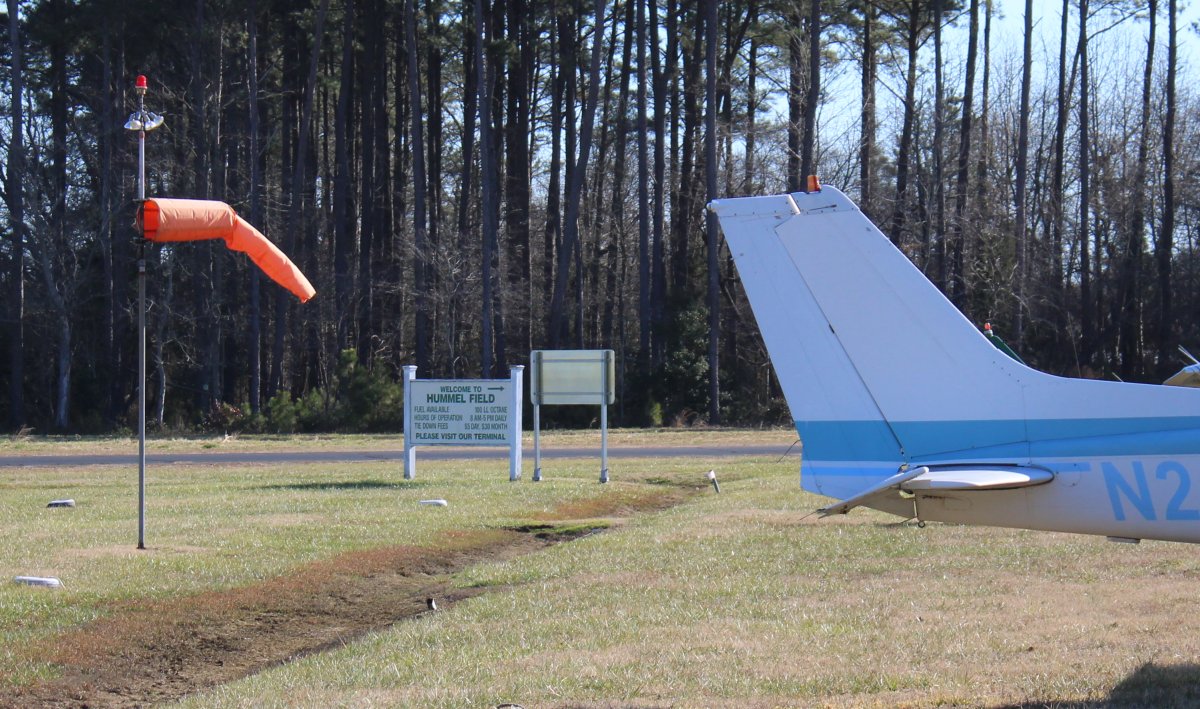
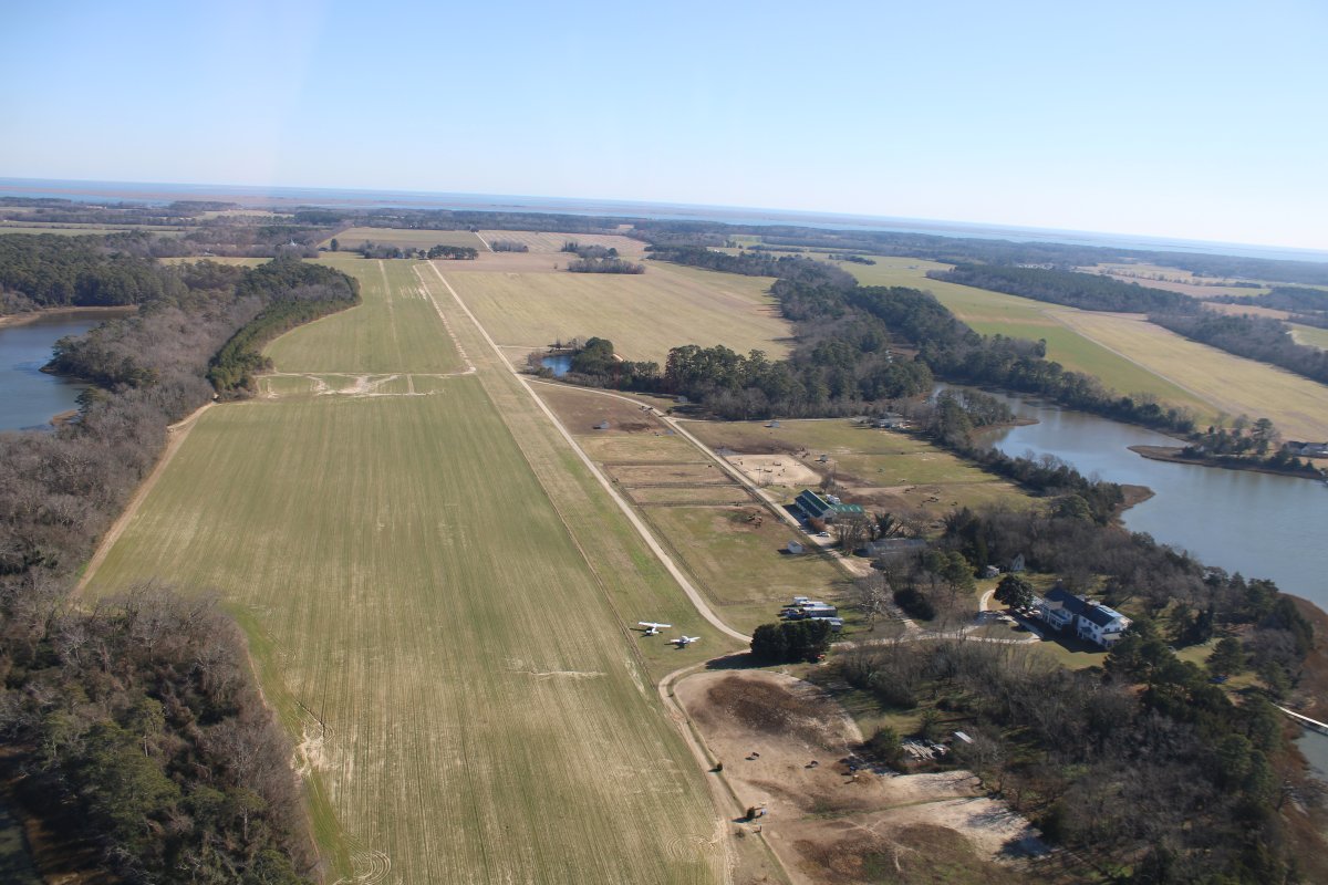
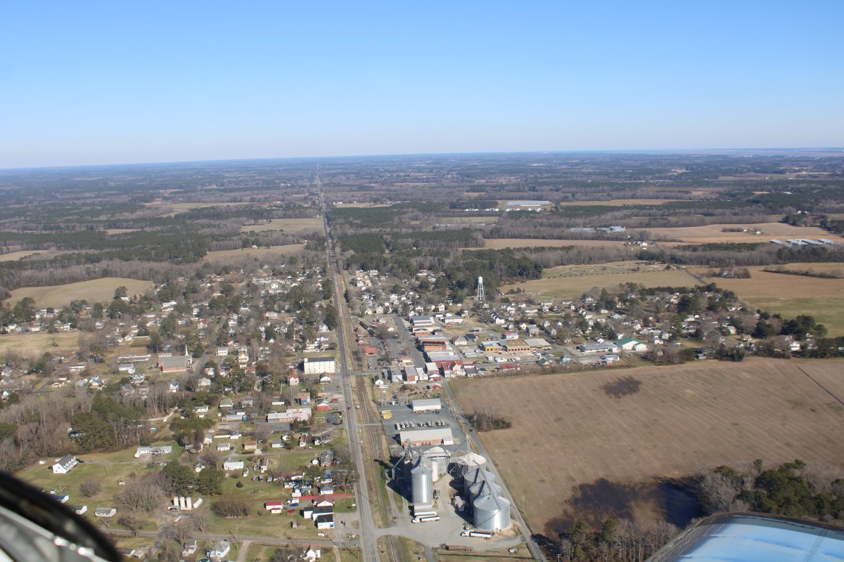
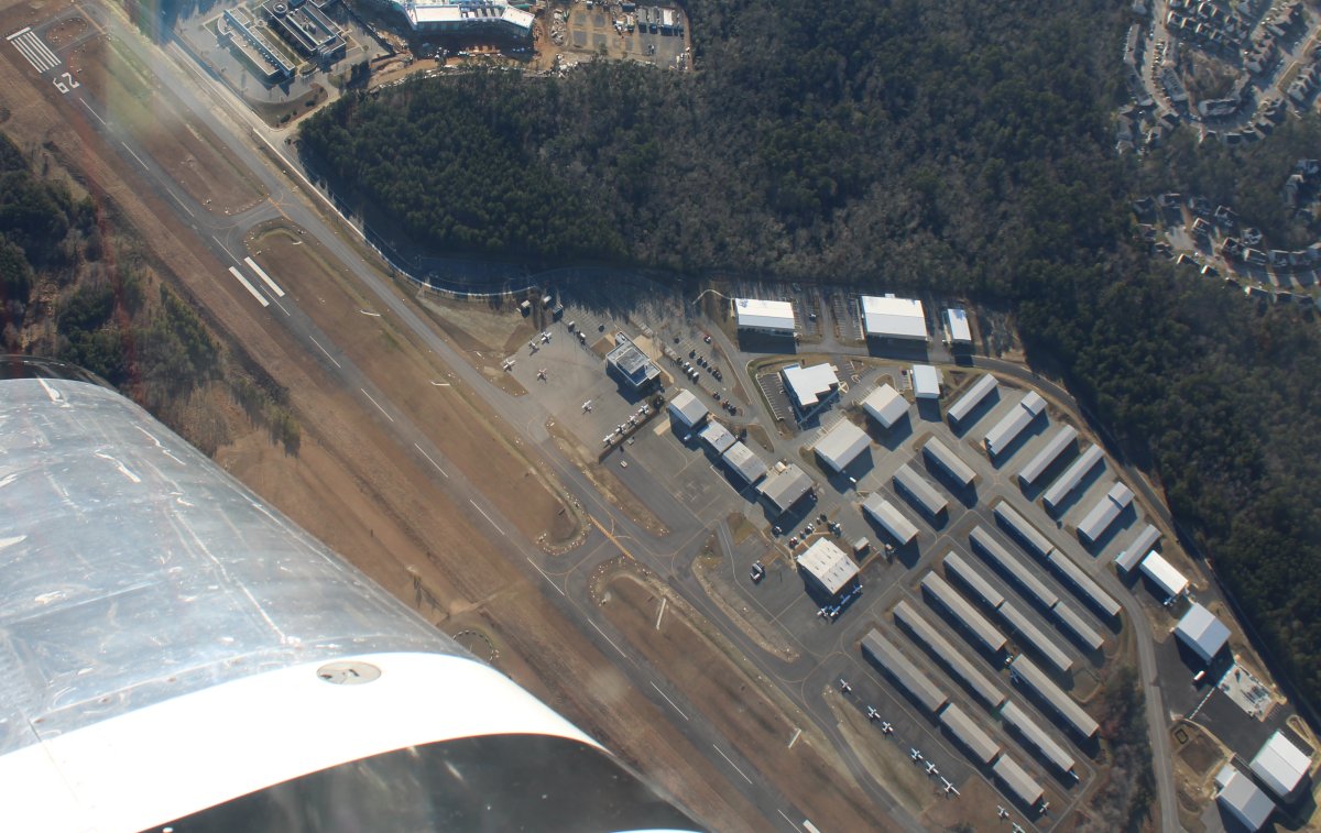
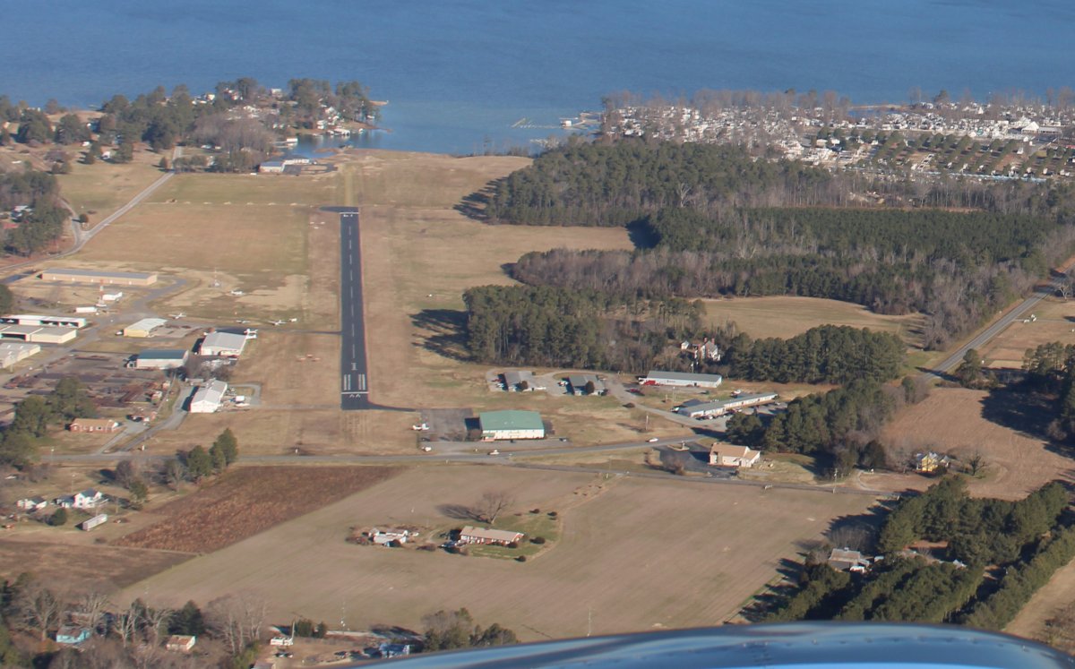
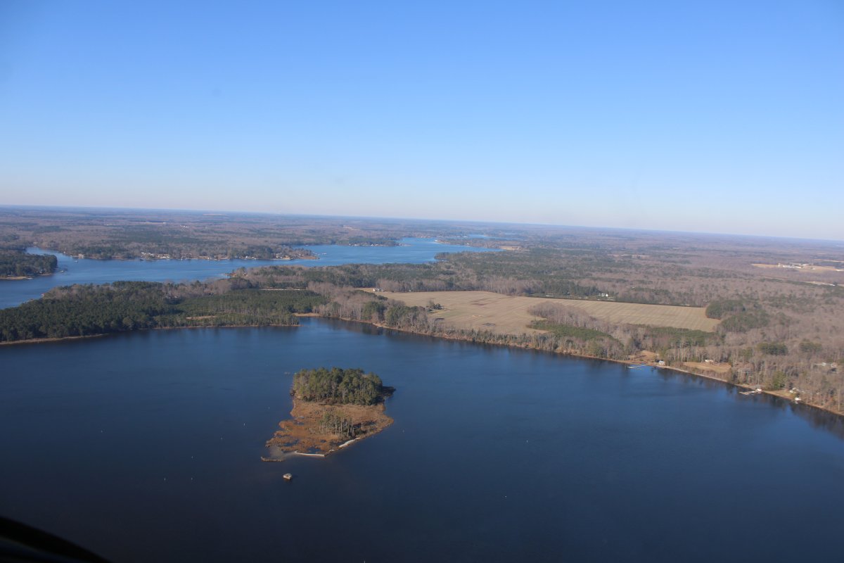
Looking down at Hummel Airport.

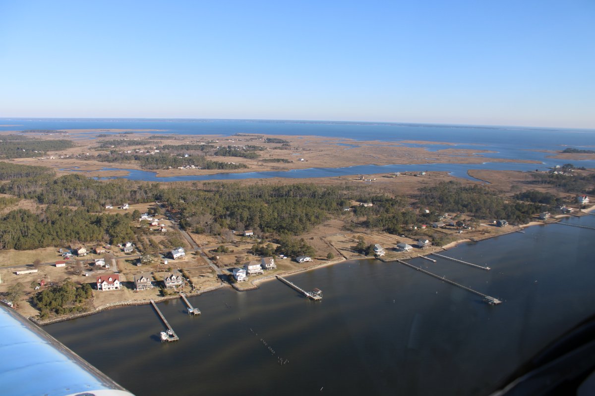
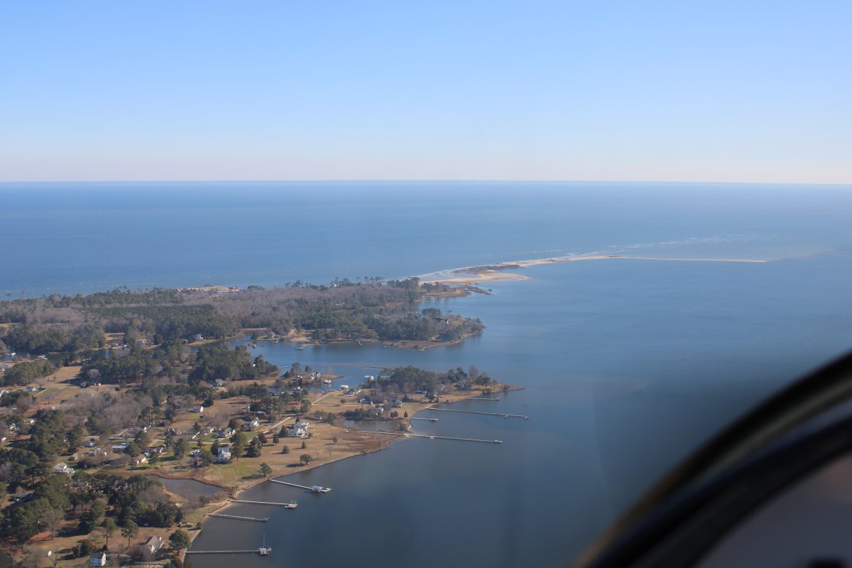
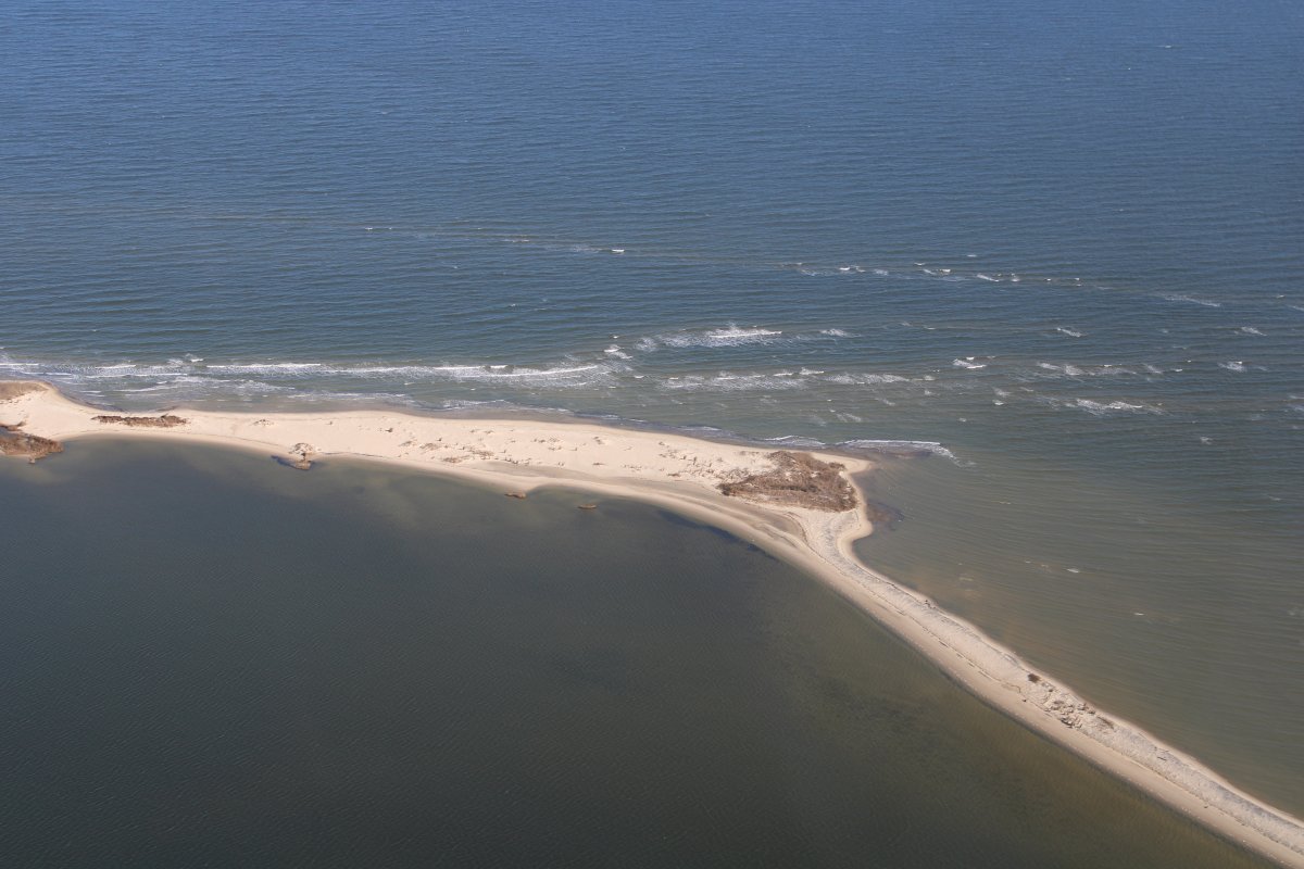
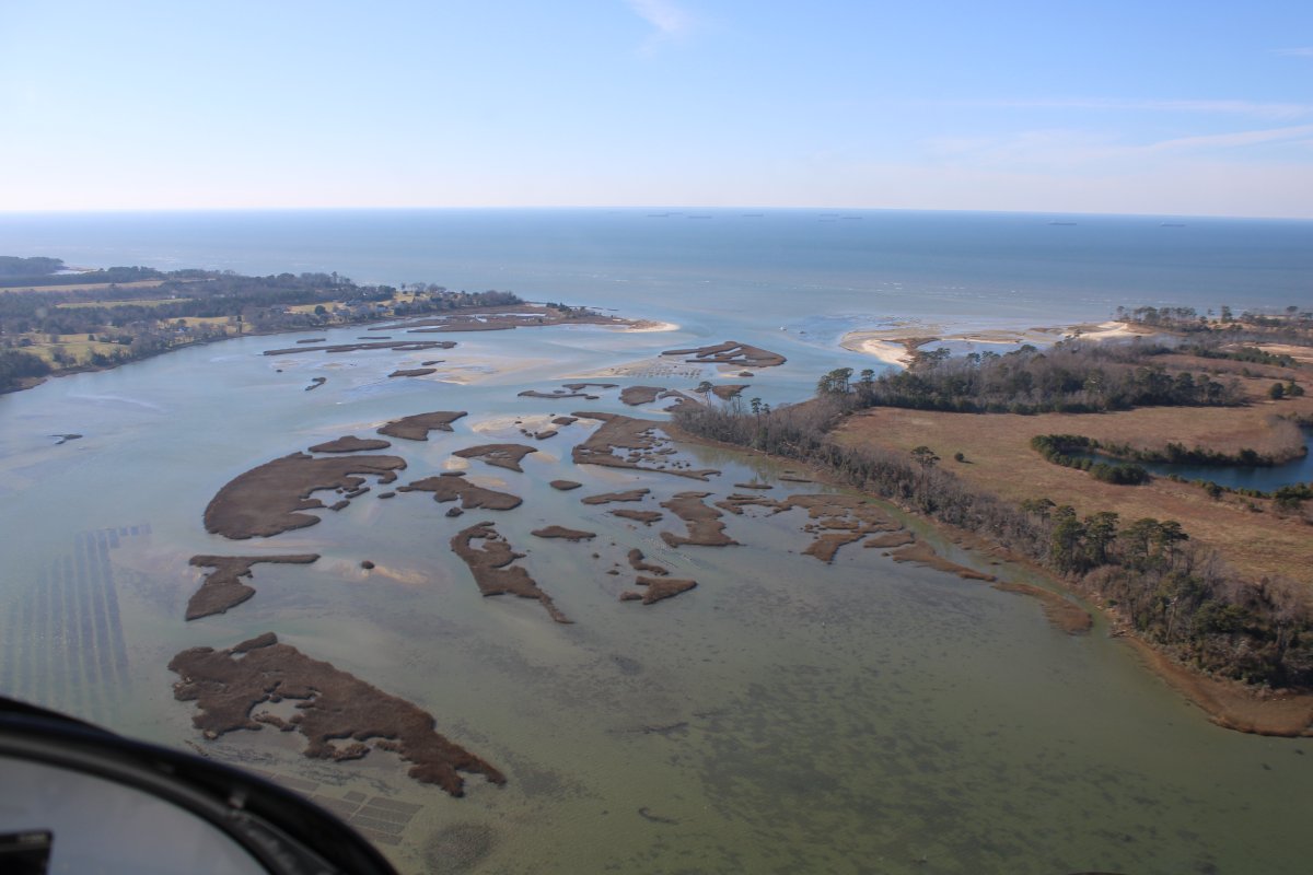
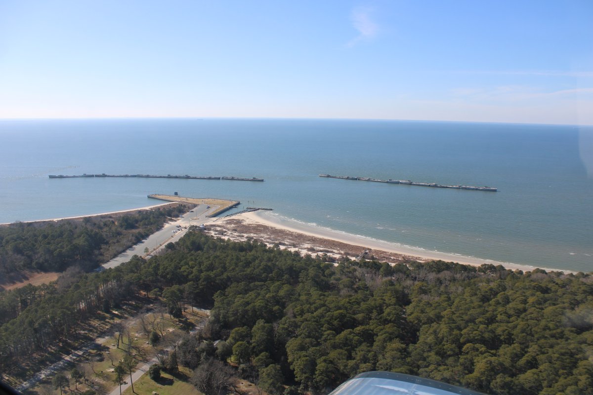
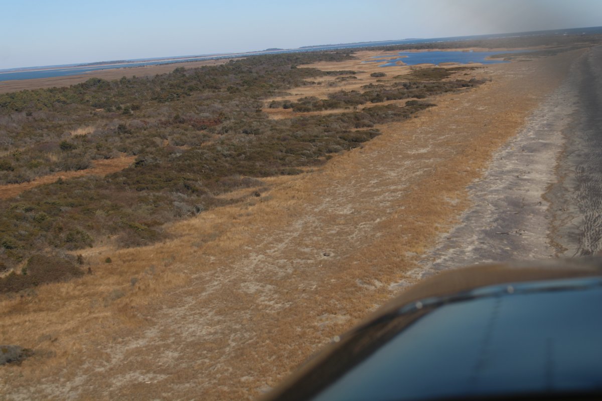
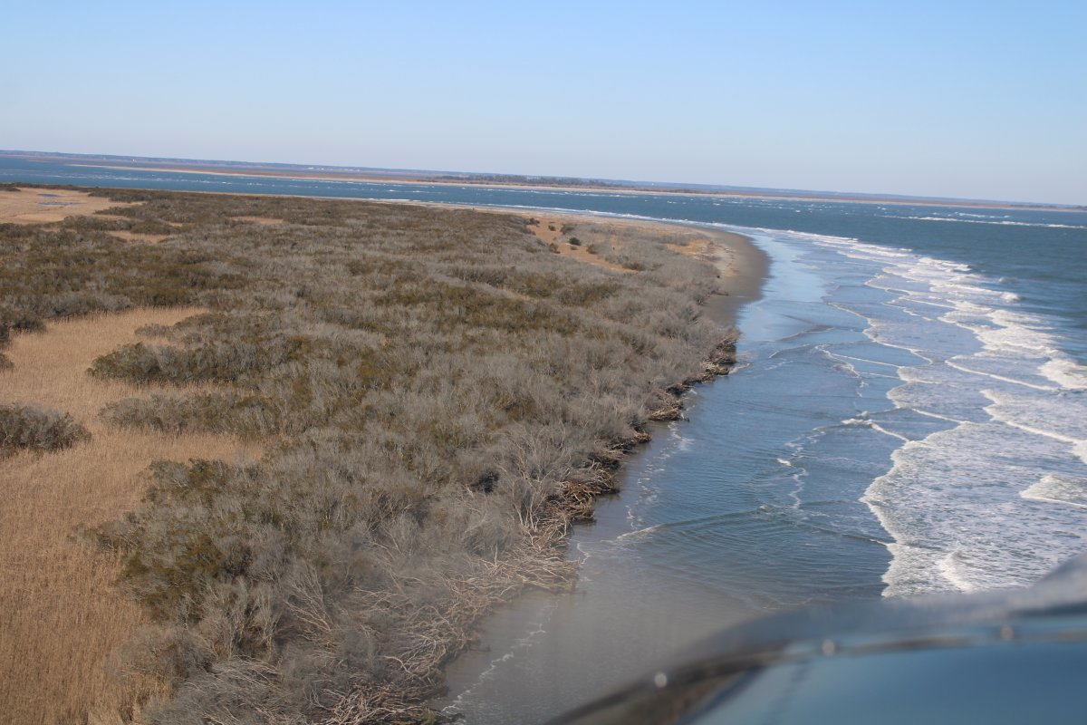
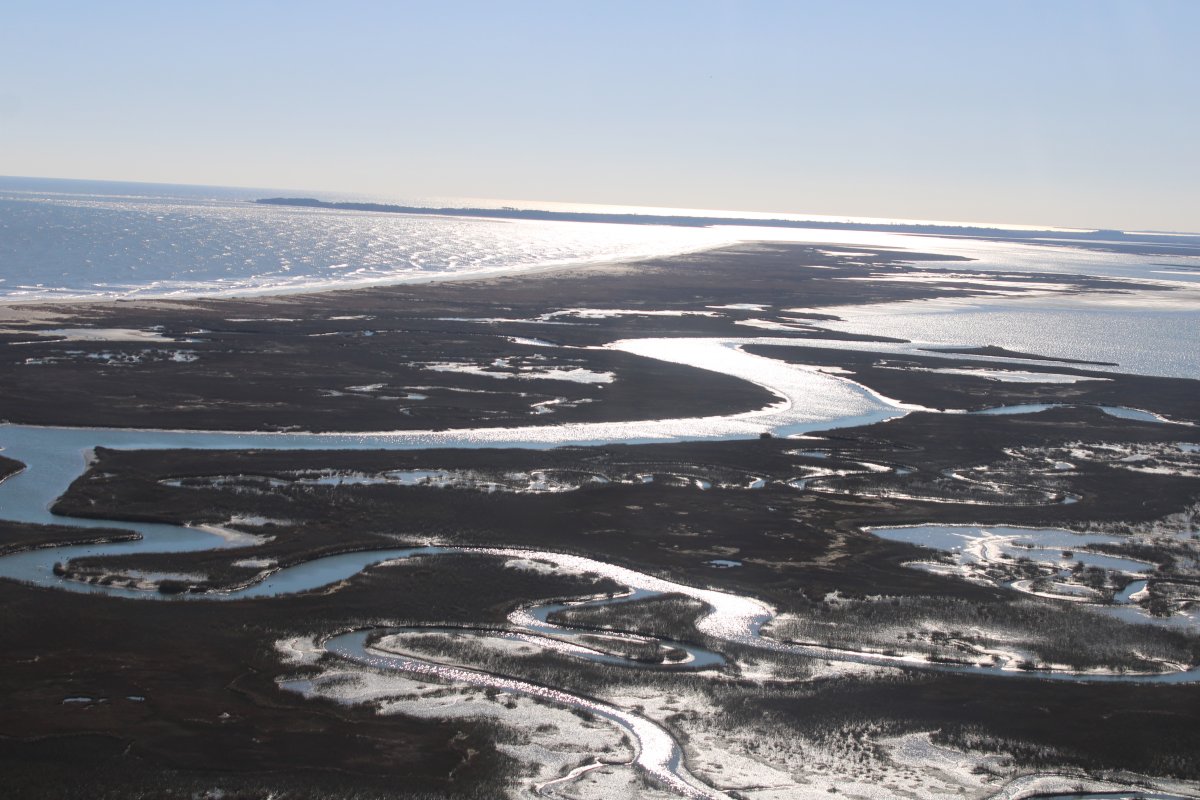
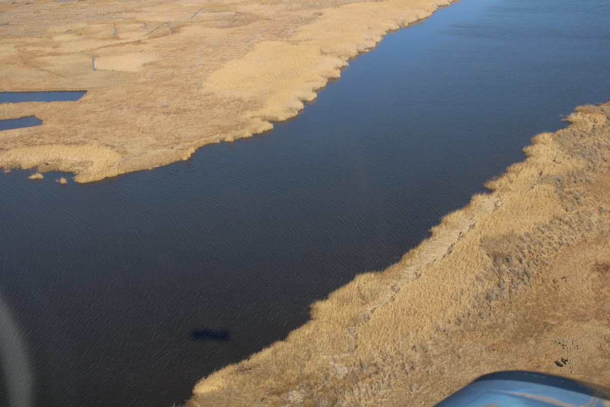
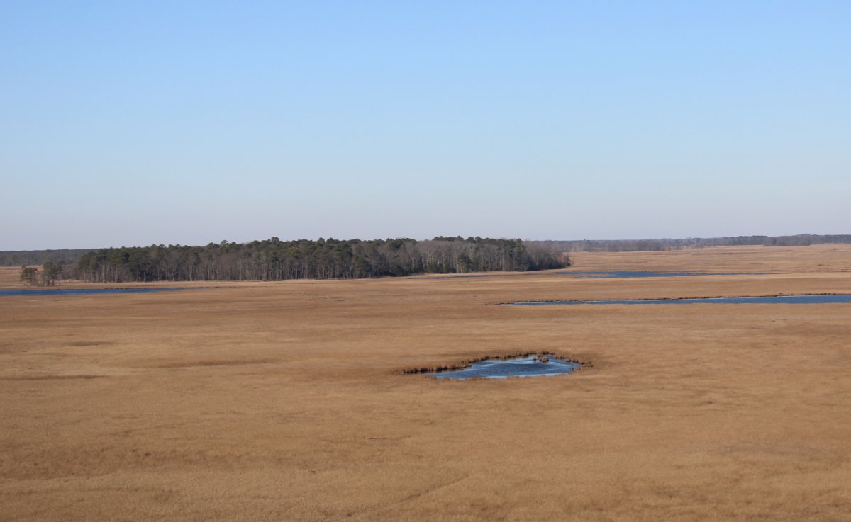
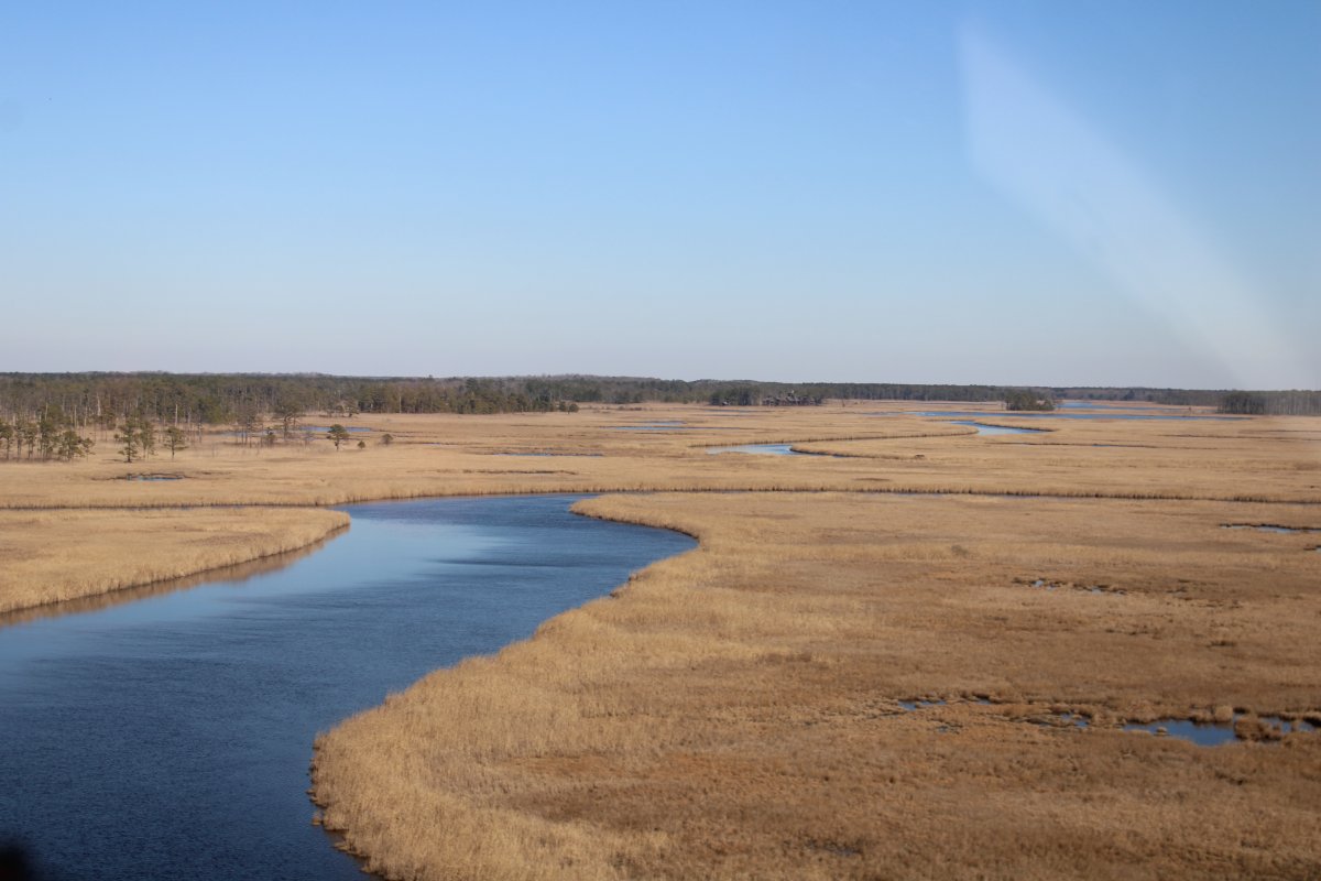
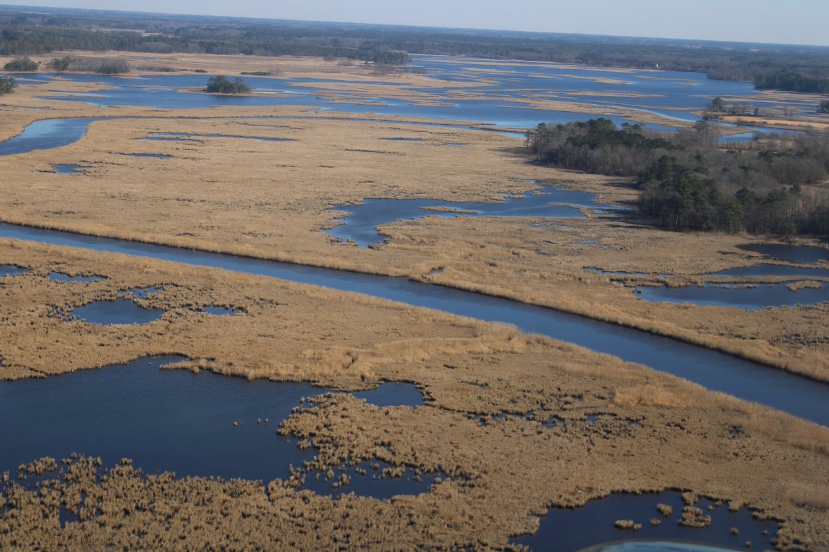
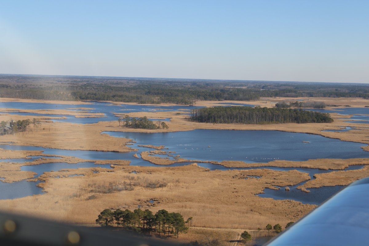
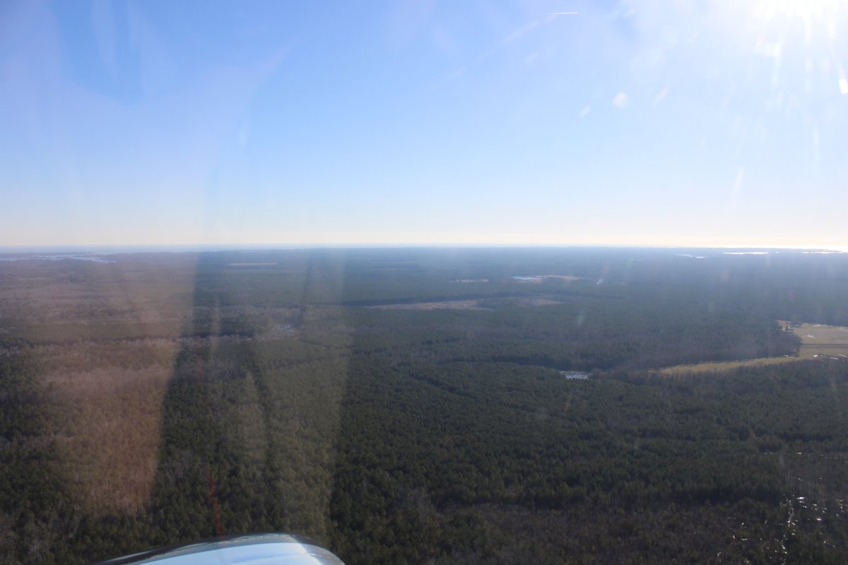
I decided to continue south for some aerial sightseeing, then come back to Hummel for food and fuel.

   
Looking east where Deltaville and Stingray Point sit at the end of the peninsula.   The Piankatank River is on the right.
   
I'm wondering why the knocked down all the trees here for?
   
There were so many rivers and creeks running southeast to northwest off the Chesapeake Bay that I lost track of which was which.
   
Lots of trees on this big peninsula.
   
Looking north.
   
Crossing the York River and approaching the Yorktown battlefield from the east.
   

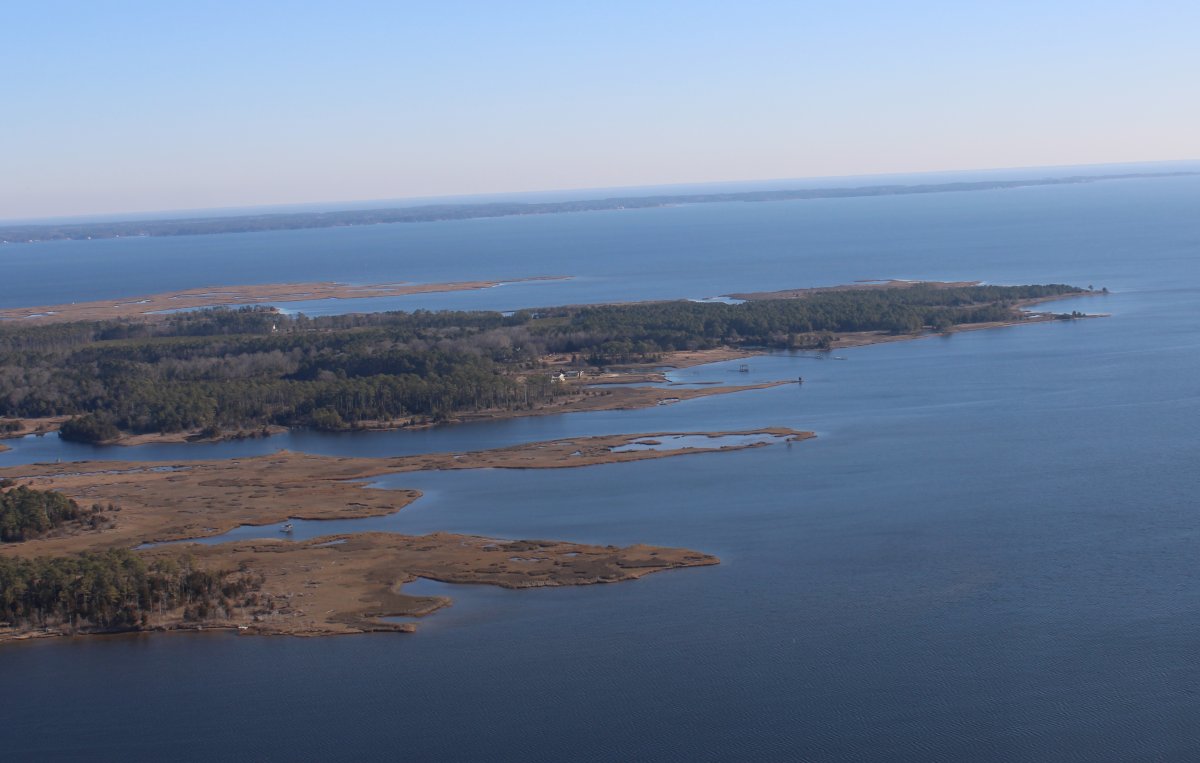
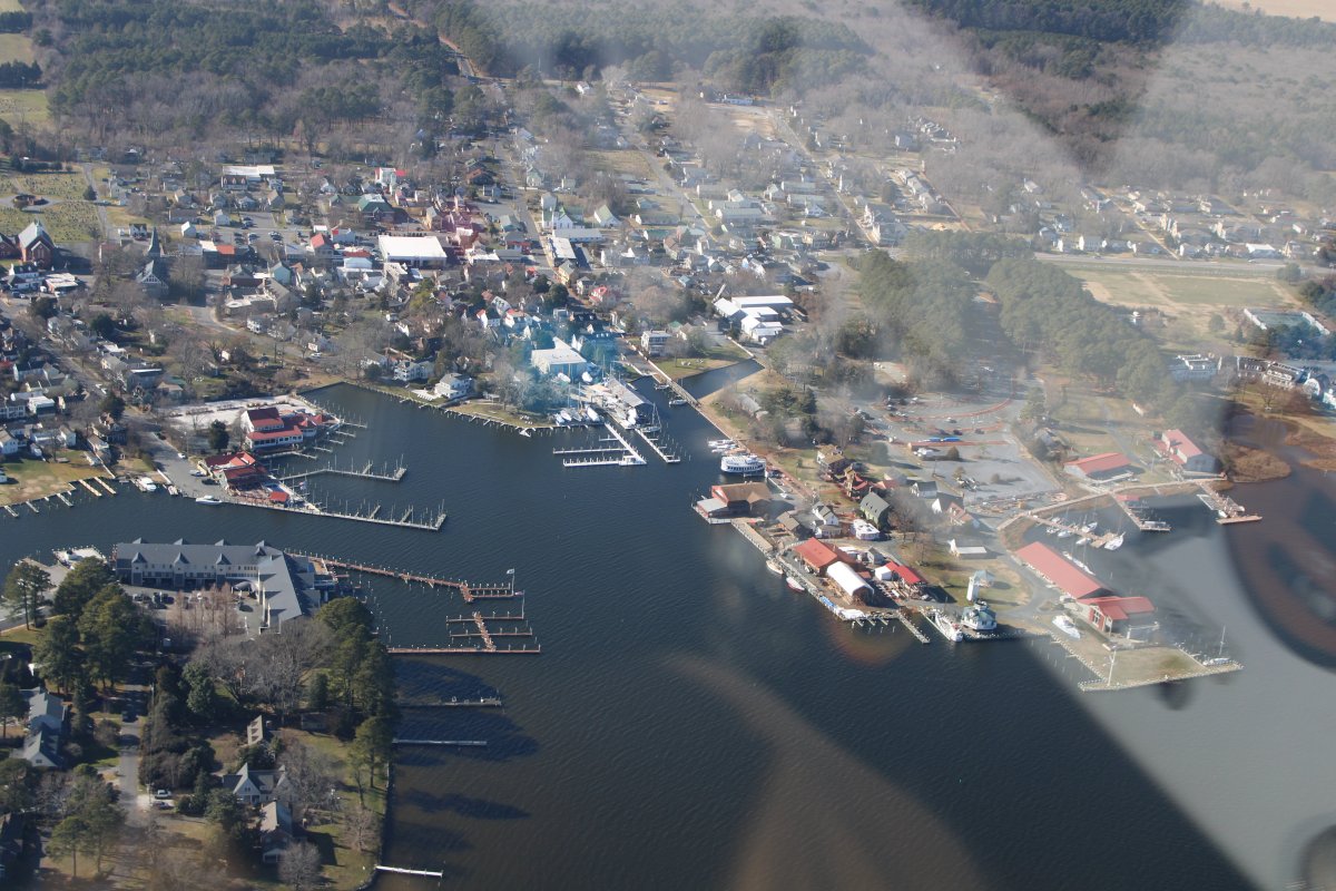
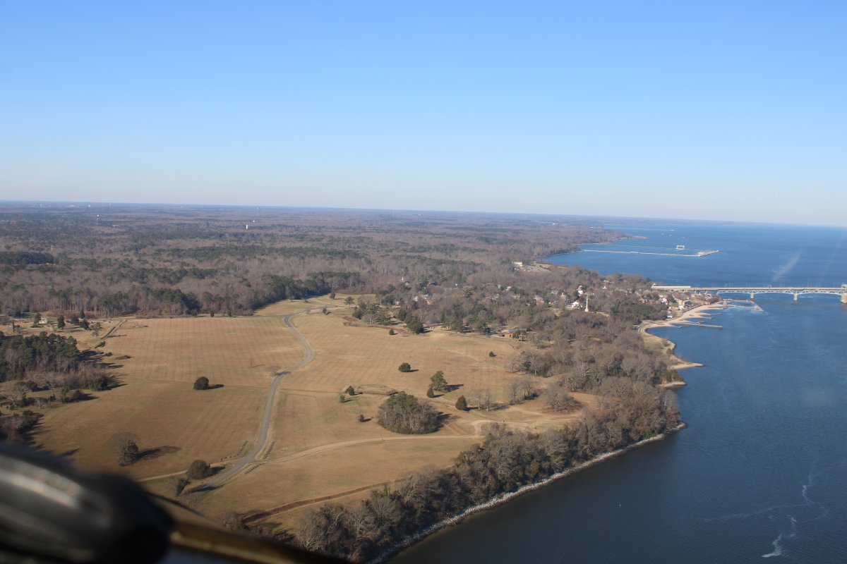
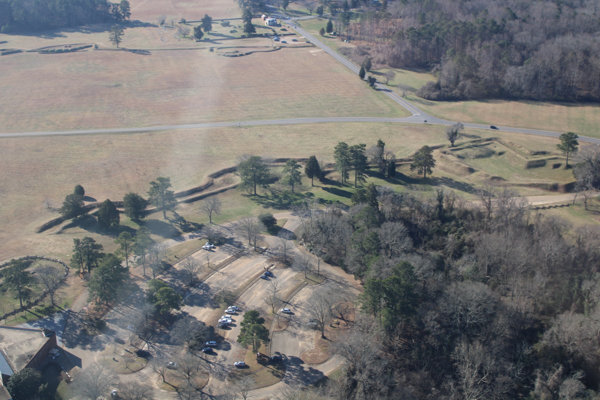
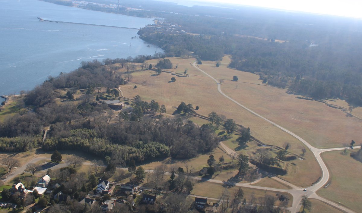
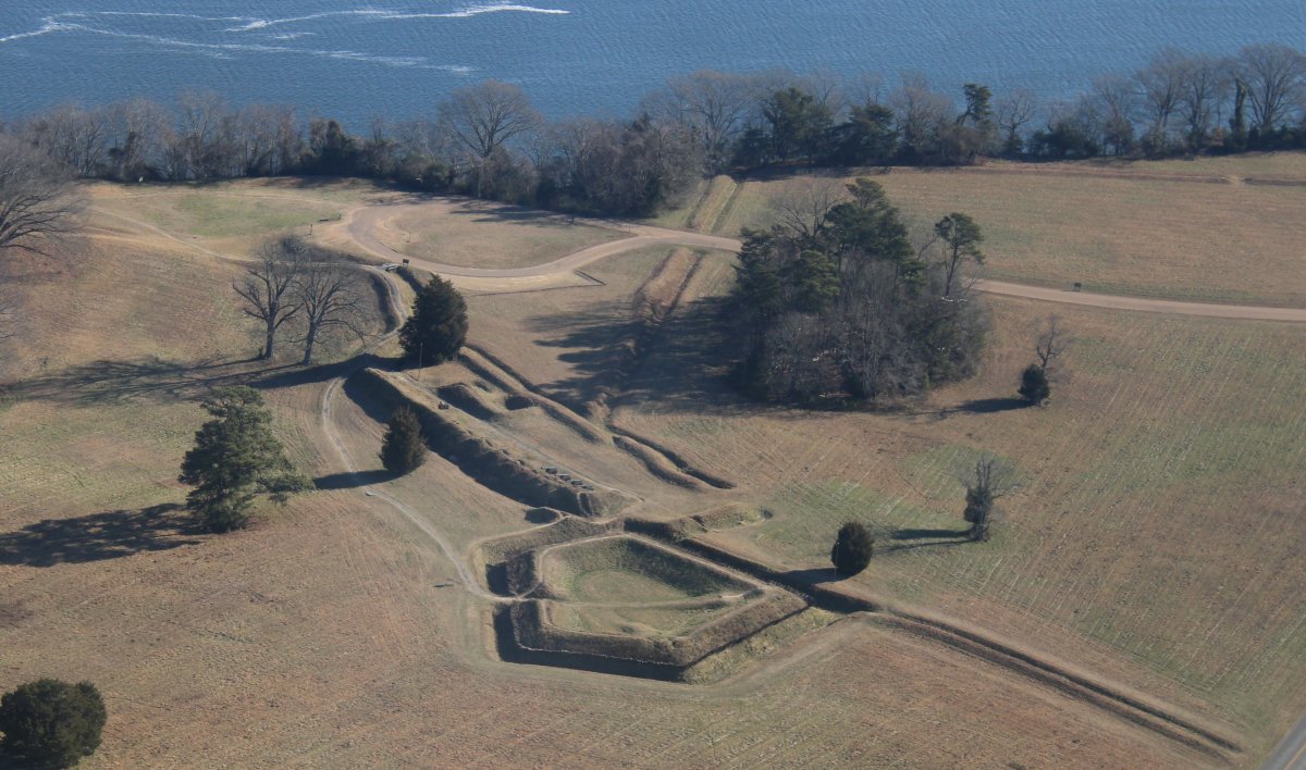
Getting closer.  I remember going here as a kid.

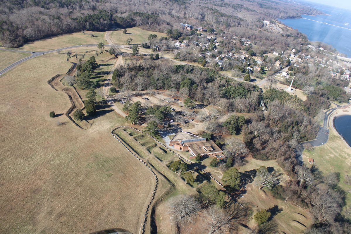
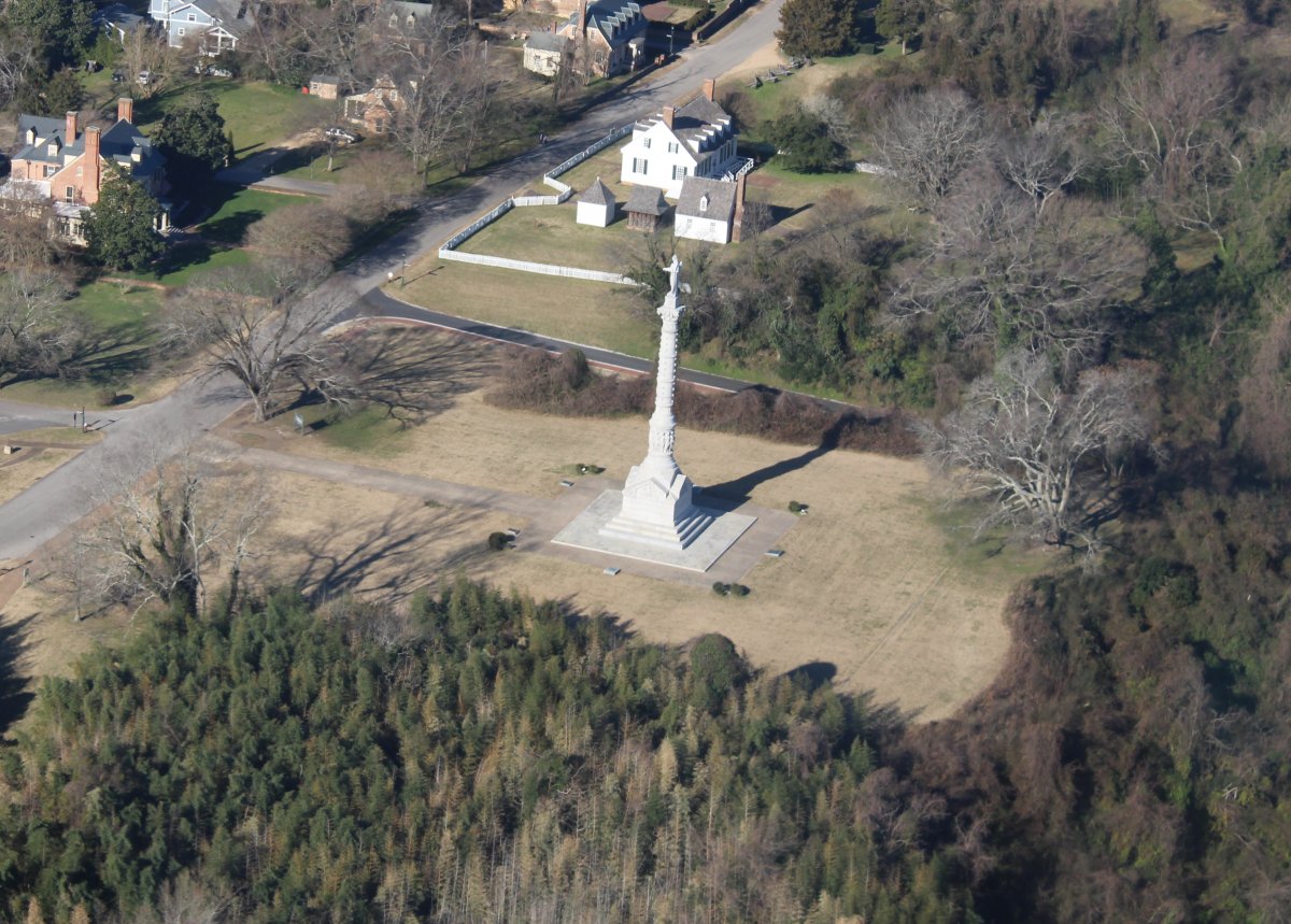
The Siege of Yorktown, also known as the Battle of Yorktown, the Surrender at Yorktown, or the German Battle, ending on October 19, 1781, at Yorktown, Virginia, was a decisive victory by a combined force of American Continental Army troops led by General George Washington and French Army troops led by the Comte de Rochambeau over a British army commanded by British peer and Lieutenant General Charles Cornwallis. The culmination of the Yorktown campaign, the siege proved to be the last major land battle of the American Revolutionary War in the North American region, as the surrender by Cornwallis, and the capture of both him and his army, prompted the British government to negotiate an end to the conflict.

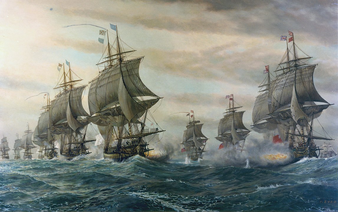
A naval victory by the French over the British made the victory possible.  In the beginning of September 1781, Admiral Comte de Grasse, commander of the French West Indies fleet, defeated a British fleet led by Sir Thomas Graves that came to relieve Cornwallis at the Battle of the Chesapeake. As a result of this victory, de Grasse blocked any reinforcement or escape by sea for Cornwallis and also disembarked the heavy siege guns required by the allied land forces. By late September, Washington and Rochambeau arrived, and the army and naval forces completely surrounded Cornwallis.

   
A painting of the naval Battle of Virginia Capes, on which world history turned.  Painting is by V. Zveg.
   
The Yorktown Battlefield Vistitors Center is in the center of the picture.  Bulwarks, redoubts and fortifications from the battle are clearly visible from the air.   The small town of Yorktown is on the right.
   
Zooming in on the Yorktown Victory Monument.


Yorktown Redoubt Nine at lower center.
   

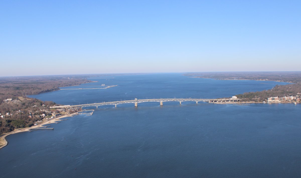
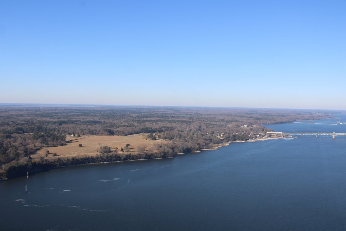
The George P. Coleman Memorial Bridge (known locally as simply the Coleman Bridge) is a double swing bridge that spans the York River between Yorktown and Gloucester Point, in the United States state of Virginia. It connects the Peninsula and Middle Peninsula regions of Tidewater, Virginia. The bridge is the only public crossing of the York River.   Originally built in 1952, it was reconstructed and widened in 1995.

The current 3,750-foot long double-swing-span bridge carries United States Route 17, a four-lane arterial highway. The movable span is needed to allow ship access to several military installations that are upstream of the bridge, most notably, the United States Navy's Naval Weapons Station Yorktown. The roadways are almost 90 feet above the river at the highest point of the bridge. The bridge is the largest double-swing-span bridge in the United States, and second largest in the world.

The toll bridge was named for George P. Coleman, who from 1913 to 1922 was the head of the Virginia Department of Highways and Transportation, predecessor to the Virginia Department of Transportation (VDOT).

On the other side of the bridge, left side, is the Yorktown Naval Weapons Station.

   
I left Yorktown and headed back north to Hummel.  The sun was behind me now which made for better aerial photography.
   
Following the western edge of the Chesapeake Bay.


Looking west.
   
I landed at Hummel, talked with Steve the Airport Manager for awhile, then fueled up at a very good price.   The FBO office is in that trailer.  Steve -- who has worked here a long time -- told me they get some pretty good crosswinds.
   
But no crosswinds today.
 
After refueling, I taxiied to the south end of the runway, parked on the grass, and made the short walk to the Pilot House Inn where I had a nice, buffet lunch.  The Pilot House Inn is also a motel.
   
Departing Hummel, I headed southeast.  Here I'm at the southeast tip of Gwynn Island about to cross the Chesapeake Bay.
   
I bet a lot of boats are at this sand bar in the summer.
   
Now I'm on the Delmarva peninsula heading south.  I've flown the coast edge many times so this time I flew inland about half a mile.
   
Passing by a very nice private grass stirp.
   
Passing by Kiptopeke beach, boat landing, and breakwater.
   
Passing by the Sunset Hotel where our family stayed once when I was a kid.  There is the Sunset Beach and also a KOA campground.
   
Fisherman's Island on the left, followed by the Chesapeake Bay Bridge-Tunnel that heads south to Virginia Beach and Norfolk.
   
You can see the first tunnel section at upper left.
   
Looking east at southern end of the barrier islands.
   
Here we go!  Descending left-hand turn to the beach.


Good shadow action.
   
Approaching Cape Charles lighthouse.
   
Cape Charles Lighthouse is an octagonal cast iron skeleton tower lighthouse at the mouth of the Chesapeake Bay on Smith Island.  It was officially removed from service in 2019 although the light had not been operational since 2013. It is the tallest lighthouse in Virginia and the second tallest in the United States.  This particular tower is the third lighthouse at this location and went into service in 1895.
   
Heading north up the barrier island beaches.


I'm still being stalked!
   
Some brick chimneys are all that remains of a house that once stood here.


Looking back into the sun.
   
I remember when there used to be some houses out in the surf.
   
Flashback!  This is a picture from August, 2009 when the beach house was still standing.
   
Some buildings at Big Thrasher Gut; don't know what they are for.
   
I headed northwest to avoid Wallops Island airspace.  Here I'm passing by the town of Parksley.  Highway 316 runs straight as an arrow north north-east.
   
Crossing the Pokomoke Sound area.


Passing through the Fishing Bay area.


P74


The water here was an unusually pretty shade of blue.


I saw a huge pulsating swarm of birds shimmering in the distance above the Choptank River near Cambridge.  It divided into two groups, then rejoined again.  Really cool.
   
Looking down at St. Michaels.
   
Crossing the Bay to Essex Skypark, I saw these two unusual speedboats, clearly military.
   
I've never seen one of these before.  Looks special forces-like.
   
Baltimore very clear in the distance.
   
Three mile initial for an overhead break at Essex Skypark.


Previous
Home
Next